Drone & 360° Tours
SERVICE 04 · taswerealestate

Drone & 360° Tours

Striking aerial views and immersive virtual walk-throughs.

OUR EXPERTISE

Striking aerial views and immersive virtual walk-throughs.

Gain elevation and showcase an unparalleled panoramic view of your property and its immediate surroundings. Our aerial drone captures and interactive 360° virtual tours empower prospective buyers to understand parcel positioning, coastal proximity, and explore rooms remotely.

WHO THIS SERVICE IS FOR

Elevation and immersive exploration for properties with exceptional surroundings.

01

Private Estates & Luxury Acreage

Showcase extensive grounds, private gardens, pool terraces, and secluded perimeter boundaries.

02

Ocean-Front & Golf-Front Properties

Instantly validate prime location, direct beach access, or fairway views from elevated vantage points.

03

Property Developers & Master Planners

Document site progression, urban integration, and proximity to regional amenities and road links.

04

International Buyers & Remote Investors

Enable self-guided 360° room-by-room exploration from abroad, compressing negotiation timelines.

WHAT IS INCLUDED

High-precision aerial and spherical visual coverage.

High-resolution aerial photographic stills

Zenith overhead and angled oblique views mapping the residence, grounds, and neighborhood borders.

Cinematic 4K aerial video footage

Sweeping drone passes highlighting property arrival pathways, architectural roofing, and natural surroundings.

Interactive 360° spherical virtual walkthroughs

Connected high-resolution panorama hotspots allowing prospective buyers to explore room by room.

Seamless responsive embed integration

Direct shareable URLs and iframe embed snippets for instant inclusion on portals and company websites.

Strict safety and privacy compliance

Conducted by experienced operators upholding local aviation regulations and neighborhood privacy.

Atmospheric sky grading and aerial color correction

Balanced tonal refinement enhancing ocean waters, landscaping greens, and clear skies.

OUR WORKFLOW

From airspace verification to live interactive deployment.

01

Weather & Airspace Assessment

Verification of wind velocities, daylight trajectory, and local airspace flight clearance.

02

Drone Flight & 360° Room Capture

Systematic aerial flight passes followed by multi-node spherical interior and terrace captures.

03

Stitching & Color Harmonization

Precision panoramic stitching eliminating seams, complemented by aerial photo color correction.

04

Asset Delivery & Web Link

High-resolution master files alongside the ready-to-share interactive virtual tour platform link.

VISUAL PREVIEW

Real-world examples and production quality

VIEW PORTFOLIO
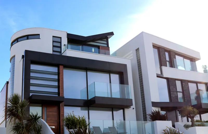
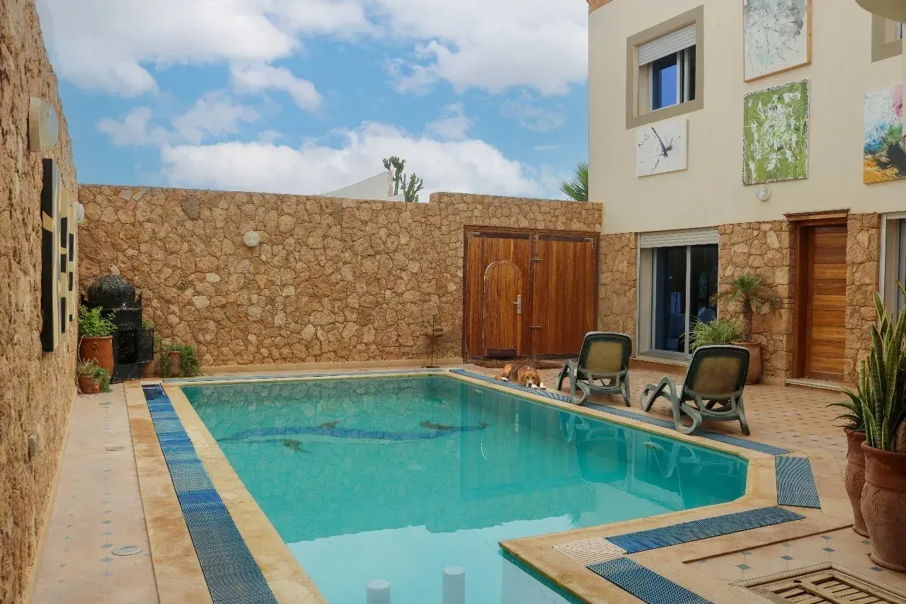
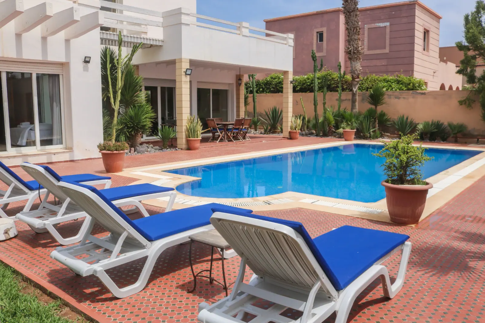
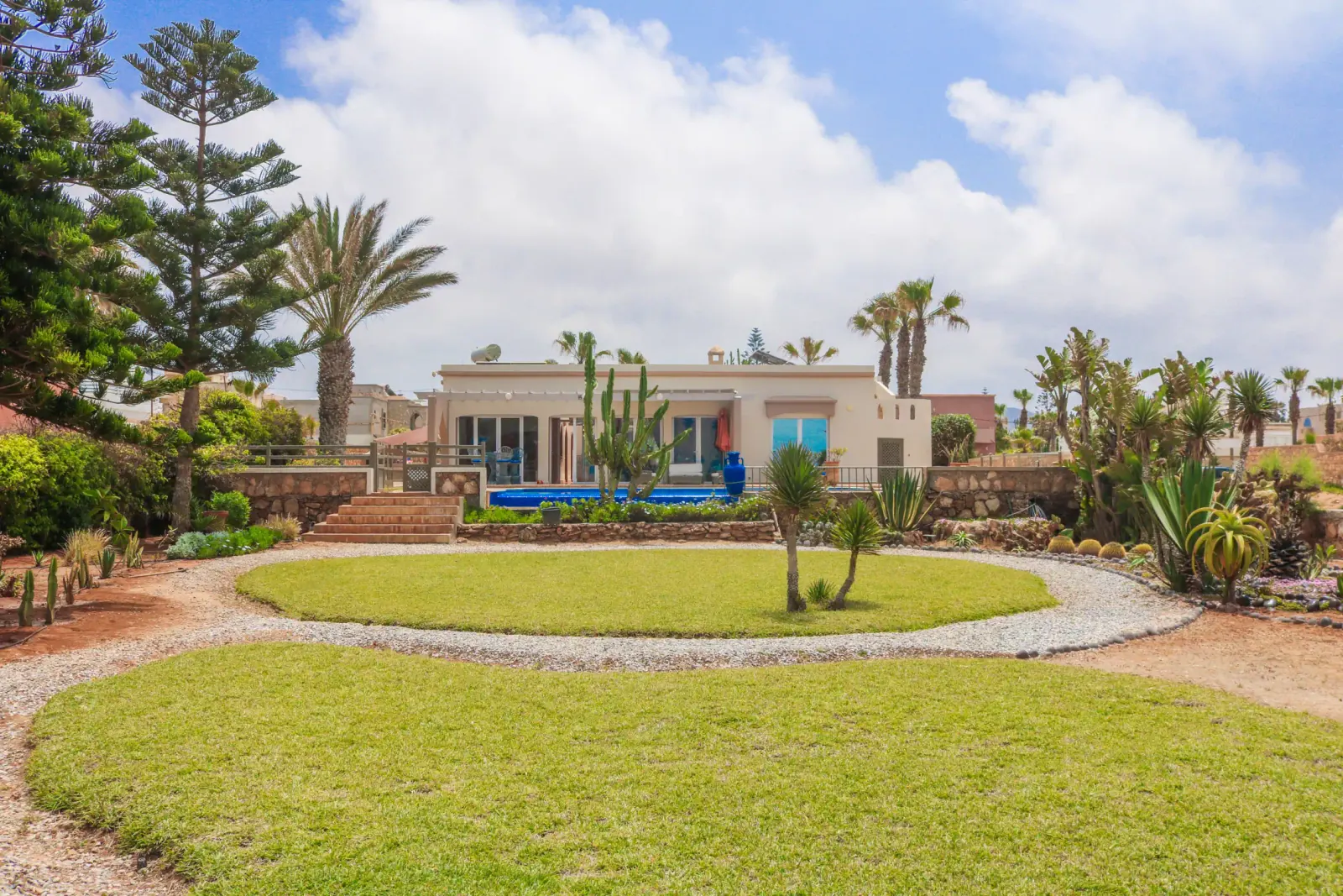
Aerial drone capture luxury villa
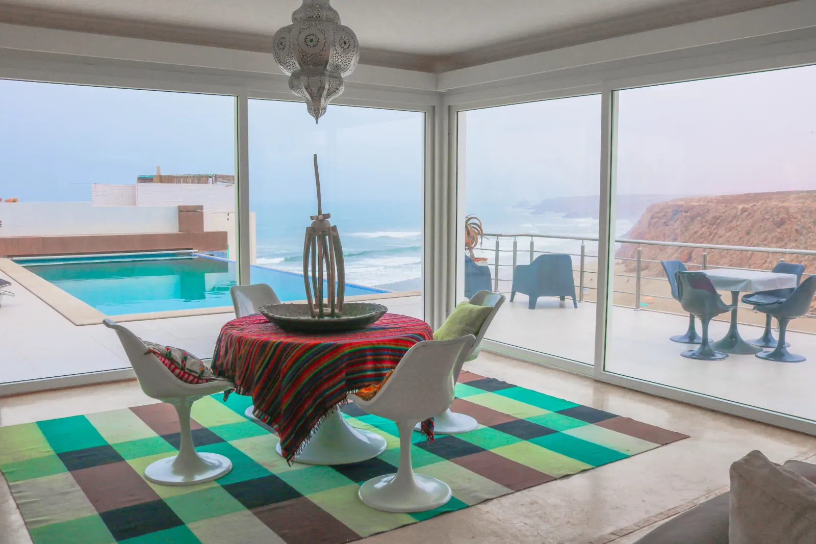
Aerial perspective terrace and pool Infinity View Villa
Landscaped grounds and architectural scale
Global aerial perspective and landscape integration
FREQUENT QUESTIONS

Everything you need to know about Drone & 360° Tours

Drones are ideal for standalone villas, estates with grounds, riads with panoramic rooftop terraces, land parcels, and homes with sea or mountain vistas. For urban apartments, we evaluate flight feasibility based on balcony orientation and local restrictions.
PRACTICAL GUIDES & INSIGHTS

Practical guides and insights for Drone & 360° Tours

Browse journal
QUOTE & BOOKING

Ready to elevate your property with Drone & 360° Tours?

Share your property details and goals with us. We will respond promptly with a clear, tailored proposal.